362 kilometers (225 miles)
From Villingen-Schwenningen to Mannheim
617 meters (2,024 feet) downhill
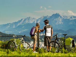
Moderate cycling with gentle inclines
705 meters (2,313 feet)
Highest point
April – October
Best time to travel
Gentle climbs with panoramic views
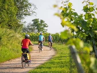
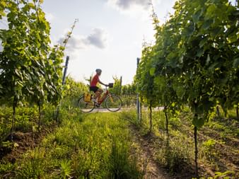
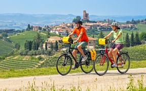
Cycling through scenic vineyard hills
Route Overview
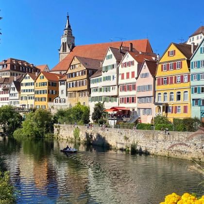
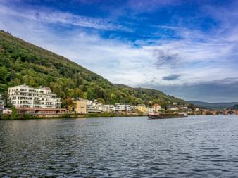
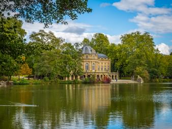
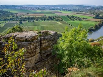
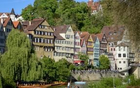
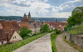
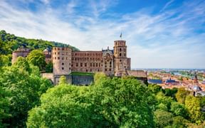
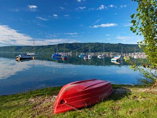
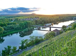
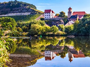
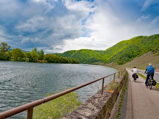
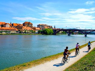
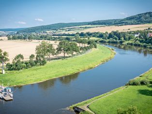
The Neckar Cycle Path stretches 362 kilometers (225 miles) from its source at Stadtpark Möglingshöhe in Villingen-Schwenningen to the Rhine River in Mannheim. The route mostly follows paved bike paths and quiet secondary roads with gentle inclines, making it accessible for cyclists of varying experience. Along the way, you’ll pass through charming towns such as Tübingen, Esslingen, Heilbronn, and Heidelberg. The path runs partly along the Neckar River, winds through vineyard areas like Michelsberg in Heilbronn, and passes forested sections along the river slopes. Lakes along the route provide perfect spots for a refreshing break. At the stage destinations, you can sample regional specialties such as Saumagen or Dampfnudeln and taste local wines like Riesling or Dornfelder.
Questions and Answers about the Neckar Cycle Path
The Most Beautiful Cities along the Neckar Cycle Path
The most scenic Stages of the Neckar Cycle Path
Why cycle along the Neckar cycle path?
Riesling & Spätburgunder
Regional classics, aromatic and full-bodied.
Saumagen: Hearty Specialty from the Palatinate
… try this hearty dish, usually served with sides like sauerkraut or potatoes.
Summer Wine Festivals
… discover current regional and smaller weekly markets as well as wine festivals.
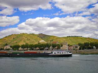
Vineyards on Michelsberg
… enjoy panoramic views over the city and the Neckar.
University of Tübingen
… did you know this university is one of the oldest in Germany?
